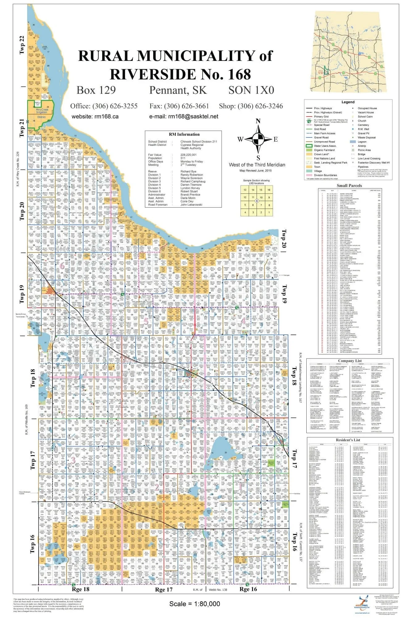
RM of Riverside
No. 168
Although the area was surveyed and staked out by 1885, this municipality had very few residents prior to 1905, with the exception of the ranchers located along the South Saskatchewan River, the Miry Creek, or in the Sand hills.
In the early 1900’s a 160 – acre homestead could be purchased for $10. In order for a family to begin improving their living quarters, it was necessary for them to break at least 10 acres of land a year with three years’ worth of duty required. The homesteader was to live upon this land at least six months out of each year, and had to have a shack worth $100 constructed during these three years.
The first homesteader to “prove up” in this municipality was Ole Gullickson on Dec.6, 1906, on the NE ¼ 9-17-16 W3rd.
In 1911, the Empress branch of the Canadian Pacific Railway was constructed through part of the district. The local farmers started a petition to have some form of local government. Later in the year, an Order-In-Council by the provincial government formed the Local Improvement District NO. 168. The district’s first official meeting was held on January 2, 1912 in Pennant. The boundaries of the original L.I.D No. 168 have remained unchanged and are the boundaries of the RM of Riverside today.
Source: ‘Through the Years History of Cabri and District’